
Oyoun el Samak
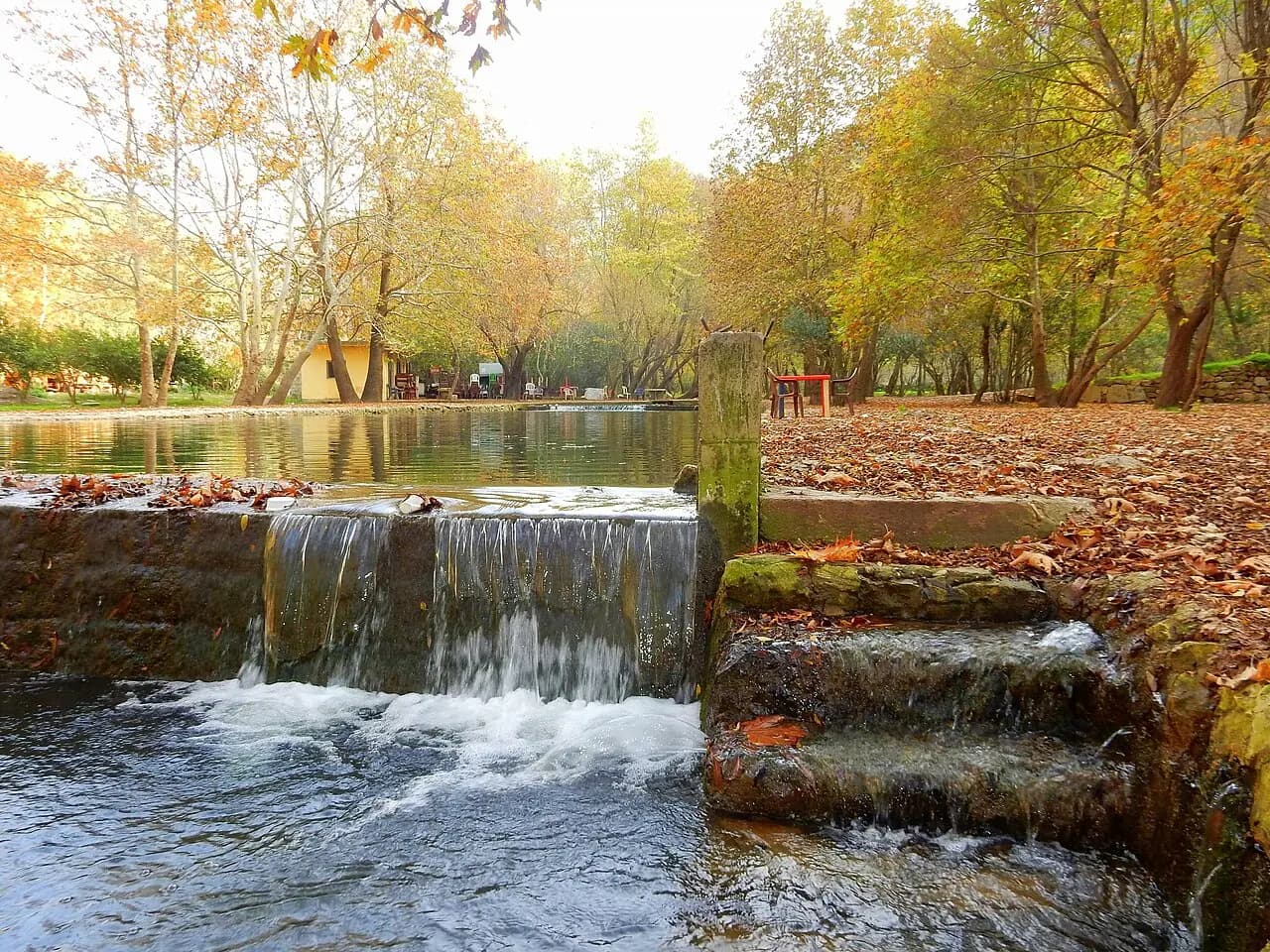
A river and waterfall landscape in northern Lebanon where access depends on local roads and seasonal conditions.
Read the Oyoun el Samak guideForests and remote highlands
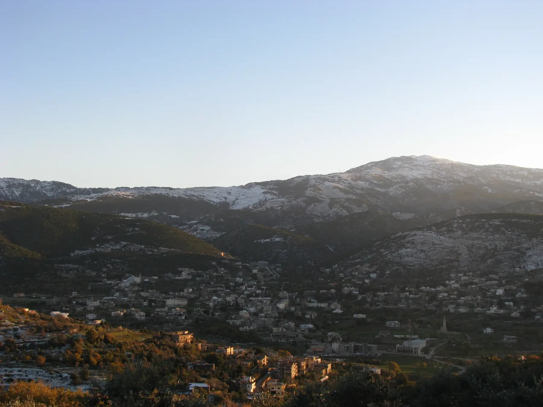
Lebanon's northernmost region offers wooded mountains, villages and quieter rural landscapes beyond the main visitor circuit.
Open the region guide
Akkar is best approached as a locally planned forest and village trip, with a confirmed base and walking route. It has fewer familiar visitor services than the central coast, and distances between rural stops can be deceptive.
The precise route matters: parts of the region are close to an international border and official advice differs by area. Consult the current map before choosing accommodation or a trail.
Qoubaiyat is also written Kobayat, Qoubayat or Qoubaiyat on maps and booking information. Confirm that your driver, host and walking guide are referring to the same meeting point rather than relying on spelling alone.
The town appears in the northern network of the Lebanon Mountain Trail and can be a starting point for researching a village and forest stay. Book a specific host and arrange the next day’s walk before arrival; do not assume a staffed trail office or available room will be waiting.
The Qammouaa area, also written Qammoua or Qammouaa, is part of Akkar’s mountain landscape. Choose a defined walk with a known start, finish and return road rather than navigating to a broad forest label.
A local guide should be able to explain the route’s elevation changes, exposure, water availability and current condition. Old trail descriptions and map tracks are useful background, but do not confirm that a forest road or path is currently passable.
The Lebanon Mountain Trail is a network of walking sections, not a single short circular path. Some routes finish away from their starting point. Agree the collection place and time before setting off, and allow for the slow road journey between them.
Carry drinking water, food, sturdy shoes, a warm layer and an offline map. Choose a route within the ability of the least experienced walker; limited mobile reception and a distant road can make a minor problem much harder to resolve.
With children or limited mobility, ask for a short, recently checked route near a confirmed road access point. Forest scenery does not imply level paths or accessible toilets.
Spring and autumn can suit walking, subject to current weather and trail conditions. Summer needs early starts and current fire-risk checks; winter snow and fog can affect higher approaches. Never light a fire or enter a closed forest area.
Ask a prospective host about heating, electricity, meals, drinking water, parking and the final road to the property. A rural stay with meals arranged is easier to plan than relying on restaurants or transport being available after a late arrival.
Once official advice and local conditions support the route, an overnight stay can make more sense than driving from Beirut, walking and returning the same day. A first afternoon near the base and one guided walk the following day leave room to adjust the plan.
Tripoli is a separate urban visit, while Bsharri and Qadisha are a different mountain area. Do not assume a cross-mountain road to the Bekaa is a suitable shortcut. Ask your host and driver to check the exact route in advance.
Explore
A river and waterfall landscape in northern Lebanon where access depends on local roads and seasonal conditions.
Read the Oyoun el Samak guide